Negley Station Area Plan
Negley Station is influenced by its location in and near four neighborhoods within Pittsburgh’s East End: Shadyside, Bloomfield, Friendship, and East Liberty, each with their own characteristics. There are two major east/west corridors, Baum Boulevard and Centre Avenue, connecting the four neighborhoods.
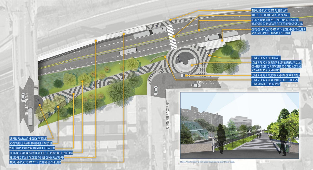
evolveEA has been a key team member in the planning and design of station improvements for the entire PRT system, and Negley Station is the first completed station renovation project of many planned projects that were conceived through PRT’s Station Area Improvement Program. evolveEA led the planning of system wide improvements and then assisted PRT’s multidisciplinary team with the conceptual design and final parameters of the completed redesign of Negley Station. The overall goal is to increase ridership at Negley Station by improving access and safety.
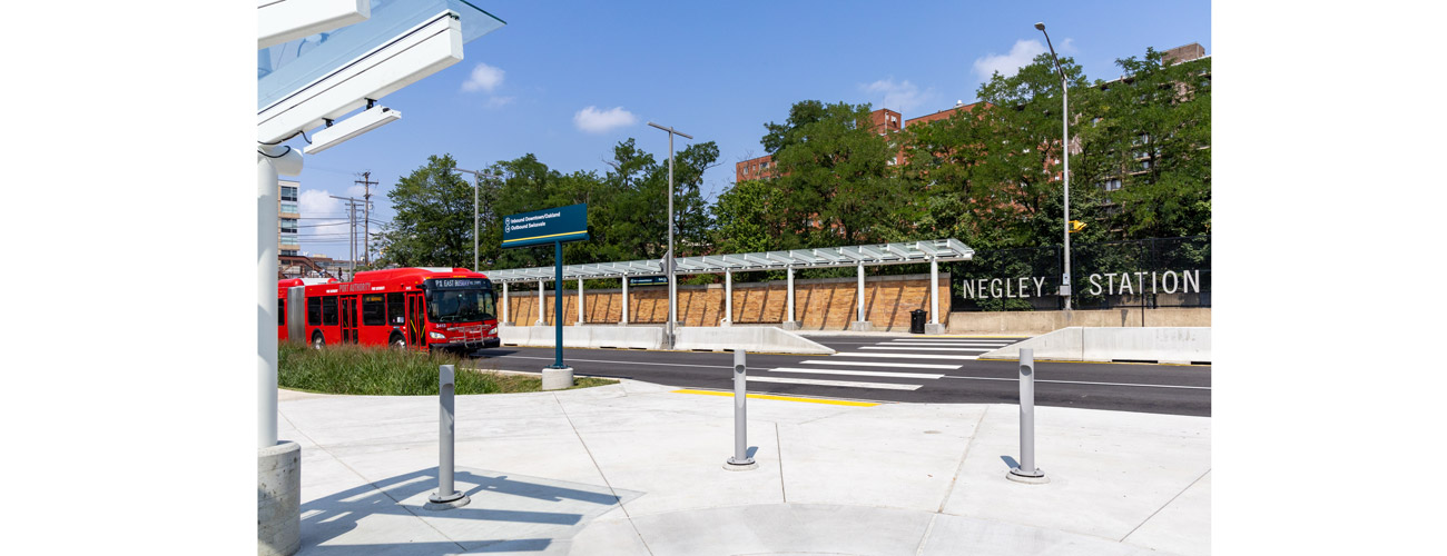
The new Negley Station is designed to be a well-connected, modern and convenient transit node along Pittsburgh’s MLK Jr East Busway. The busway allows riders to quickly reach Downtown from the city’s eastern neighborhoods and outer suburbs, bypassing busy roads with its bus-only roadway. At the station platforms improvements include new canopies, a ticket vending machine, seating, integrated lighting and signage, according to PRT’s new branding standards.
evolveEA was tasked with Transit Oriented Development and environmental assessments, conceptual station area planning, and stormwater management interventions. As part of the initial plans, evolve identified the opportunity to create inviting connections between the neighborhood and Negley Station. In the completed design, there is now an ADA accessible ramp between the upper and lower plazas that establishes a clear gateway to the station while also anchoring its place in the neighborhood.


