Engaging Pittsburgh Online to Plan for More Vibrant Riverfronts
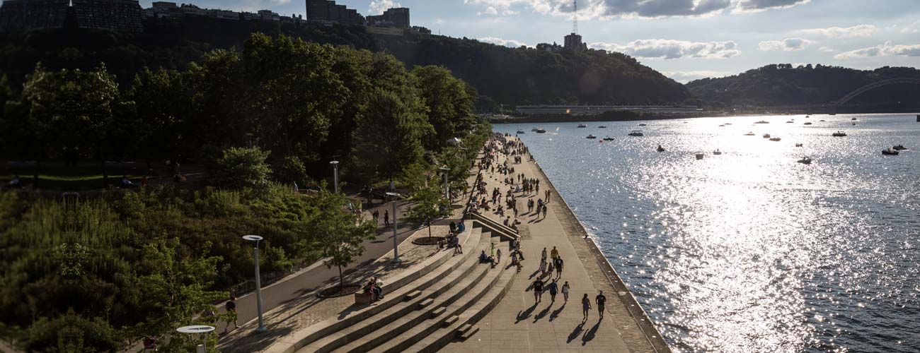
Rivers bring life to our cities—each year thousands of people bike, boat, or play along the Allegheny, Monongahela, and Ohio Rivers in Pittsburgh. Much of this was made possible through the work of Riverlife and their partners, who developed a community vision for a contiguous system of trails and open space along Pittsburgh’s riverfronts. Since the vision’s inception in 2001, Riverlife and its partners have made much progress and over 85% of the original plan, called Connecting the Loop (2001), has been built. Despite the progress, gaps in the network and other challenges remain and Riverlife is committed to collaborating with many stakeholders to implement a common vision of exceptional river places that will Complete the Loop.
Convening people to meaningfully share ideas is challenging in any circumstances, but especially so in the covid socially distanced era. Over the past year, evolveEA has been assisting the Riverlife team in crafting a vision to “Complete the Loop” (2020), and has creatively engaged thousands of people through meetings and online. One of our highlights from this process was the Riverlife StoryMap that enabled us to exchange information and feedback from the community in an interactive format, attracting over 3,000 unique views and over 1,000 cumulative survey responses.
The Riverlife StoryMap visualizes the conditions of Pittsburgh’s riverfronts and asks participants to share their experiences and aspirations for the public spaces along the rivers. The map incorporates GIS data to inform user feedback and yielded rich information for the ongoing planning work. Although the initial survey period is closed, the site remains active to collect ongoing feedback so check out the Riverlife StoryMap here and leave your thoughts using the form at the end!